Kings Mountain
Link to photos of Kings Mountain and related views.
BKM map.
New Acquisition District map.
The Arthur Patterson farm was about two miles north of Kings Mountain off current Dixon School Road near the state line. On the evening of 06Oct1780 the Patterson cows did not come in for feeding and milking. Arthur sent three son’s out for them. The sons didn’t return. The next day Patterson investigated that the Tories had taken his cows and took his sons prisoner. He joined the patriots in the battle which freed his sons. Perhaps wounded, Patterson is listed on the 1909 plaque as killed. The Patterson family has 1803 documents about Arthur’s death at that time 23 years later. Because they killed the cow, Tories were treated notoriously rough by the Patterson boys for a few years.
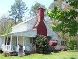
Peek at 2001 pic of Patterson 1780 HouseThe Robert Barber house was disassembled, moved, and re-assembled (with fill in pieces from the Arthur Patterson house which was also disassembled1) behind the museum at the old post office in downtown Kings Mountain.
The Wells family lived three miles from the Kings Mountain battlefield. From this view of the Wells family cemetery, the sky line out of the trees at left shows Indian Knob where Ferguson had a guard post manned by his trusted provincial soldiers.
Peek at Wells family cemetery
The Wells cabin thumbtack on the map shows the position of the Wells’ view of the ridge. Page 230 in Draper’s Heroes describes the girl who asked Alexander Greer (or one of Greer’s compatriots in Colonel John Sevier’s corps) how many Whigs were there. He said “enough to whip Ferguson if we can find him.” Then she said “He is on that mountain” and pointed to where Ferguson was located three miles away The peek below shows about what Greer saw.
Peek at Kings Mountain
Dixon Creek, a branch of Kings Creek, not in October, but still much as it looked in 1780.
Peek at creek
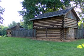
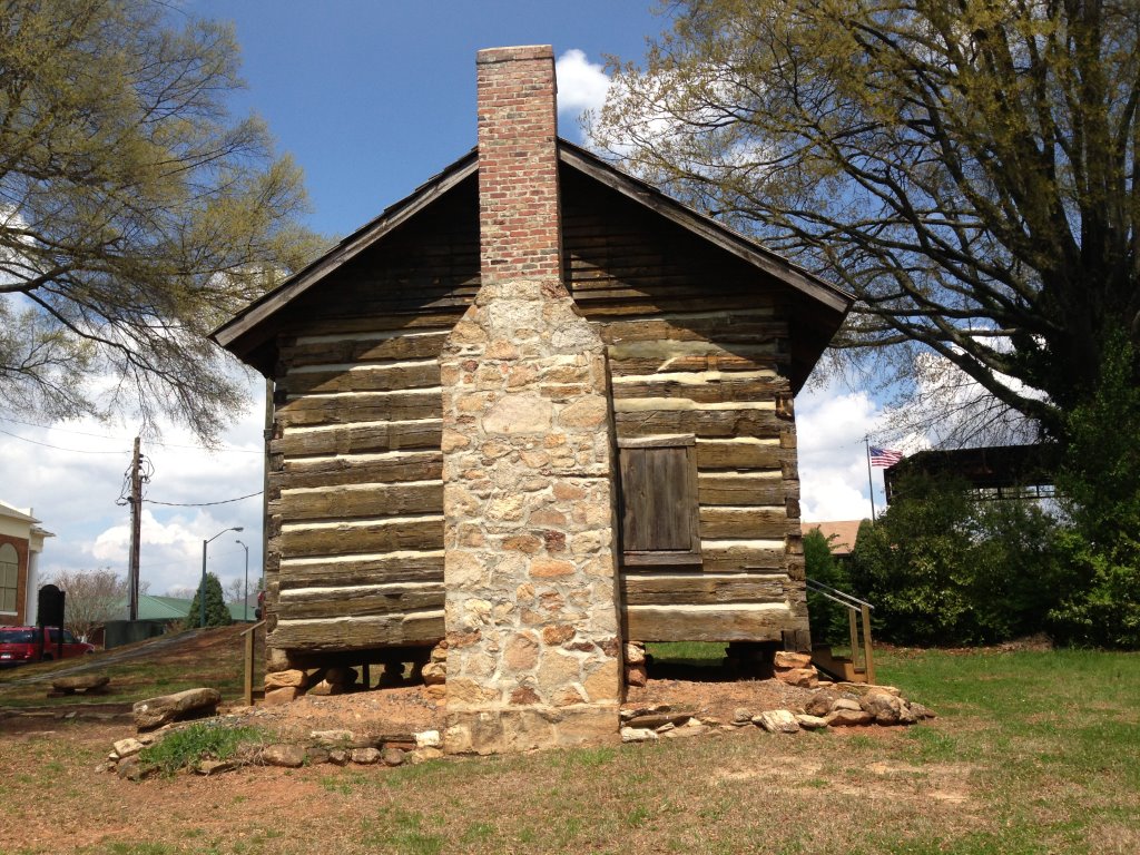
When the wounded soldiers were taken to the Wells cabin for care, it did not yet have the siding, but the chimney was the same then as it now is. The infirmary was for wounded men, whether Tory or Whig was unspecified.
After the battle, John Copeland (s30966) in Col Edward Lacey’s troops from York District under Lt Rigdon was detached to build barracks for the wounded “of which there were not a few.” Perhaps the “barracks” was a shed extension to an existing barn or house. There is a chance that they were building south of Kings Mountain near Bethany where several Tory wounded recovered. More likely it was north of the ridge, perhaps Hambright, Wells, or Patterson’s farm, for Col Thomas Brandon and Edward Lacey’s wounded.
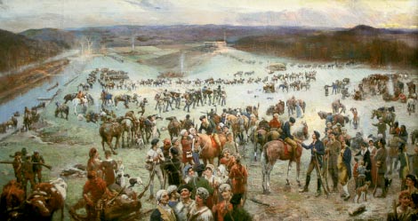
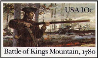
The Kings Mountain un-stamp will not mail a letter. Neither will 5 of them. Never a stamp, the post office made a picture for its station at Zip Code 28086. Kings Mountain North Carolina decorates its Post Office interior with this commemorative picture.
With more study of land grants and deeds, we might pinpoint the local geography from Cherokee Ford to Kings Mountain to mark places mentioned in Draper papers and pension records.
-Alexander Copeland W9935, father’s house in earshot of BKM
-the Tory house between Cherokee Ford and BKM where Enoch Gilmer gained info
-the Tory a mi from Wells where Enoch Gilmer came out
-released Whig George Watkins
-Tory Ponder
-Loyalist Solomon Beason’s 5 mi from Wells (Beason’s Creek branch of Buffalo Creek)
150 ac 21Apr1764 Royal Grant, on SC line
-Loyalist Peter Quinn’s place 6 or 7 miles from BKM, 40 miles from Alexander’s Ford
-Robert and Nancy Armstrong lived near BKM
-Joshua Burnett at his father in law’s house 4 miles away
-Francis Dover lived w/i a mile of BKM, but not in battle
-Thomas Reagan’s widow, Hannah, lived on Kings Creek near BKM
-other residents in 1780
-The mass graves, one for patriots, was it NE of the ridge? Did it contain David Duff?

