Muster Ground
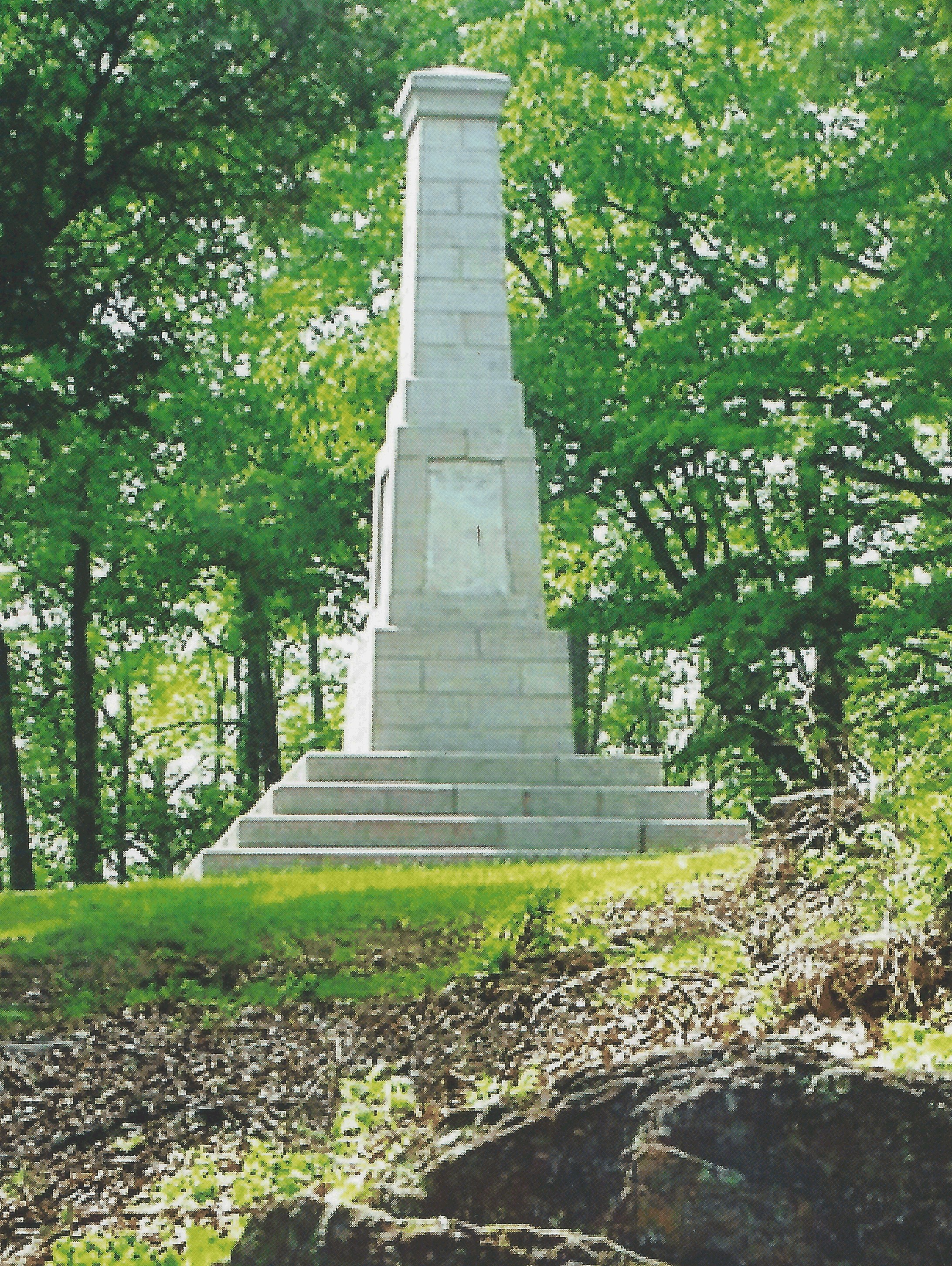
Muster Ground marker Abingdon .
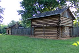
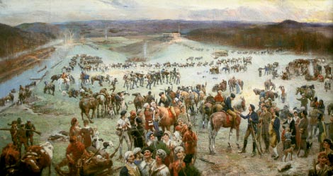
The Washington County, Virginia militias answered the plea from Burke County, North Carolina forwarded to them by Colonels Isaac Shelby and John Sevier. Samuel (1713 father of the battle participant Samuel 1754) Newell’s Washington County tax lists were a head start for the colonels, Arthur and William Campbell, to make militia rosters. They began spreading the word on Friday 22Sap1780 and gathering on Saturday 23Sep1780. On Sunday 24Sep1780 part of the Virginia contingent of the Overmountain Men met near Newell’s improvemnt on Andrew Colville’s farm at Wolf Creek. “Newell’s improvement” was also known as “Black’s Little Fort” which Joseph Black built as home for his mother, step father, and orphaned Colville cousins before he began the larger fort on his own farm.
Black’s Fort, Abingdon marker.
Kings Mountain, Abingdon marker.
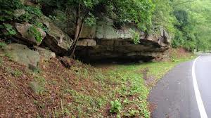
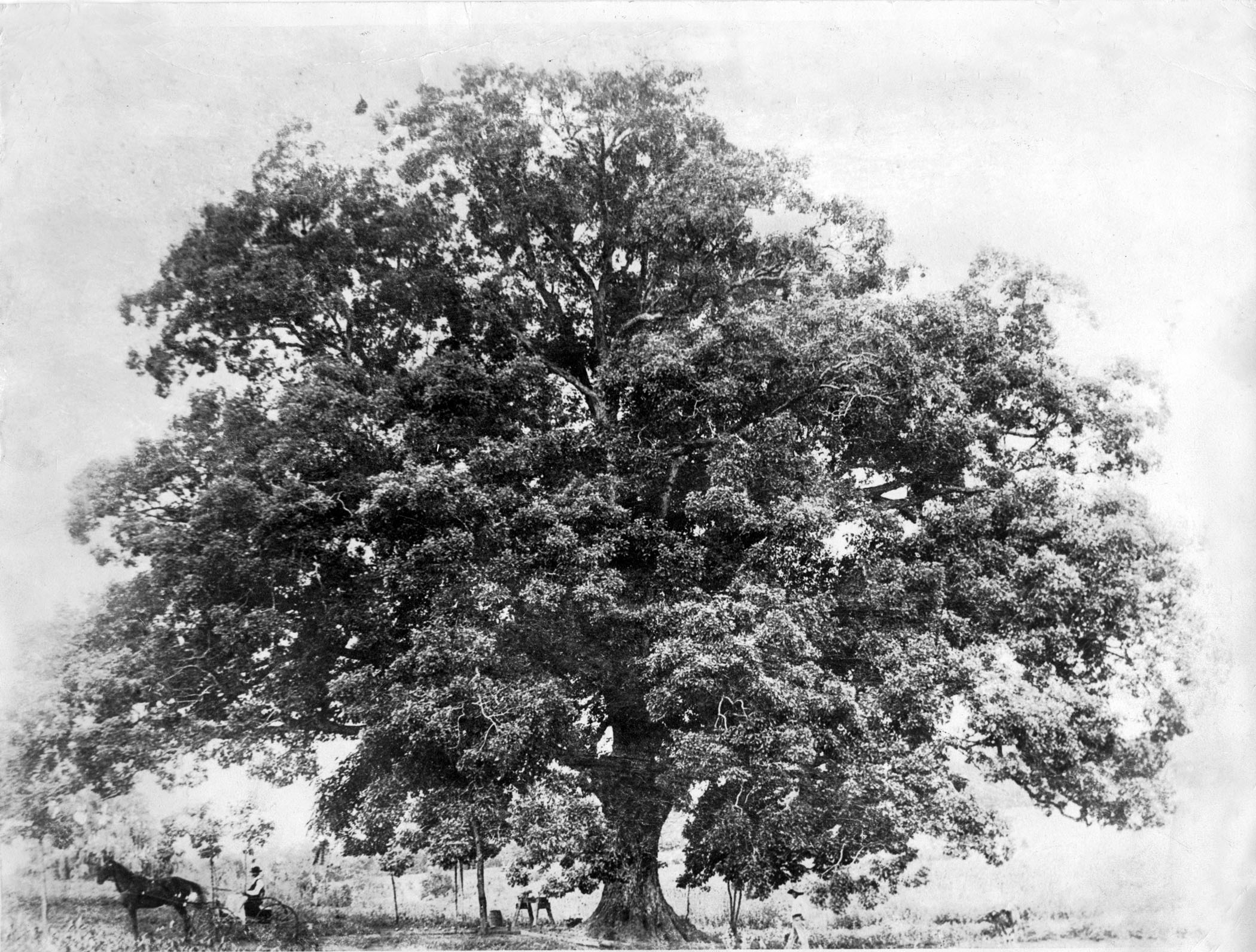
Colonel William Campbell mustered with captains Beattie, Edmondson, and Dysart at Ebbing Spring. Campbell went to Blacks Fort to meet the western contingent while the Ebbing Spring folks moved down the Old Watauga Road to meet the Sinking Spring boys. From there they all moved on to Pemberton Oak. Colonel Campbell dropped by at Paperville to see Colonel Evan Shelby.
Aspendale, the plantation of Col William Campbell, was upstream from Ebbing Spring on the Holston Middle Fork beyond Chilhowee at Seven Mile Ford. Col Arthur Campbell was farther upstream at Royal Oak (Marion).
You can click on its map link to browse around the neighborhood.
Two days later at Sycamore Shoas, Rees Bowen’s Company joined the chase to stop Ferguson from this area.
All able bodied men were called out from the Ebbing Spring neighborhood to the Edmondson’s place and from the Sinking Spring neighborhood to Newell’s improvement on Andrew Colville’s farm near Blacks Fort for the 24Sep1780 muster. Col Arthur Campbell rounded up a few more men to join the Sycamore Shoals muster on 26Sep. His place was Royal Oak marked on the link below. He brought about 200 of the stragglers to Sycamore Shoals, then took a few back to Blacks Fort while the others joined the “find Ferguson Expedition”.
A few entries from the Washington County Survey Book I illustrate the intensity of the volunteers. Names in the Kings Mountain soldier list are highlighted.
Page 273 – Sarah Buchanan Campbell…2055 ac…on the waters of the north fork of Holstein River adjoining the Salt Lick Tract, also Lee’s, Fowler’s, Harnson’s, Crabtrees, Lyons and Charles H. Campbells tracts of land…Treasury Warrant…Beginning corner to the Salt Lick Tract then with Peter Lees line…crossing Fowlers Mill Creek…to Dysarts corner…near the Salt Lick road…with Fowlers corner leaving Dysarts line…by Fowler’s Mill Dam…corner to Harrisons land…above the Meeting House…corner to Charles H. Campbells Tract…June 21, 1785
Page 35 – Andrew Kinkinnon…361 ac…on both sides of Little Holstein, branch of the Middle Fork of Holstein River…Commissioners Certificate…Beginning in a sinkhole amongst a parcel of rocks, corner to John Beatties old tract…on James Thompsons line…on Bates old line…January 3, 1783 – Andrew Kinkinnon…400 ac on Little Holstein River…200 ac surveyed on January 21, 1774, includes improvements, actual settlement made in 1772…September 1, 1781
Page 360 – Robert Craig, assignee of Thomas Caldwell – 415 ac – treasury warrant #19218 dated September 8, 1783 – on the waters of Woolf Creek, a branch of Holston River – corner to James Craig & James Douglass’ land – near Newell’s improvement – near a corner of William Willoughby’s land – April 27, 1787
Page 414 – Patrick Linch, assignee of Jacob Will, assignee of John Young – 160 ac – on the waters of Spring Creek and on the north side of the great knobs – on the southwest of Stampley’s Gap – near John Campbell’s line – near Samuel Vance’s line – treasury warrant #9048 dated November 21, 1781 – December 27, 1793
Page 382 – William Edmondson, Samuel Edmondson & JamesDysart, acting trustees for Ebing Spring Congregation – 122 ac – treasury warrant #1984 – corner to James Thompson’s patent tract – to the mouth of the Ebing Spring on the north side of the middle fork – corner to Col. William Edmondson’s land – corner to Philip Greevers land – May 6, 1788
Bethel Presbyterian – Montgomery info The neighborhood south of the knobs from Abingdon did not have an organized congregation in 1780.

